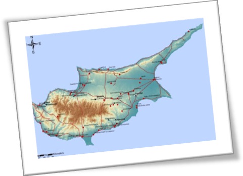
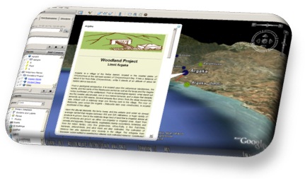
Capture information using Geographical Information Systems (G.I.S.): The use of GIS in the research program "Woodland" focuses on four areas: (1) Digital protection - storage of information and management of heterogeneous data (2) Thematic map creation related to ancient mines in Cyprus on WebGIS application with the support of new technologies and the and dissemination of information on the web network through WebGIS technologies (3) Integration of archaeological data, together with satellite images, topographic and geological maps and other digital environmental and cultural information and to (4) identify environmental parameters and their association to the topography of ancient mines.
 |
|
|
|
GIS: is a system designed to capture, store, manipulate, analyze, manage, and present all types of geographically referenced data....
|
 |
 |